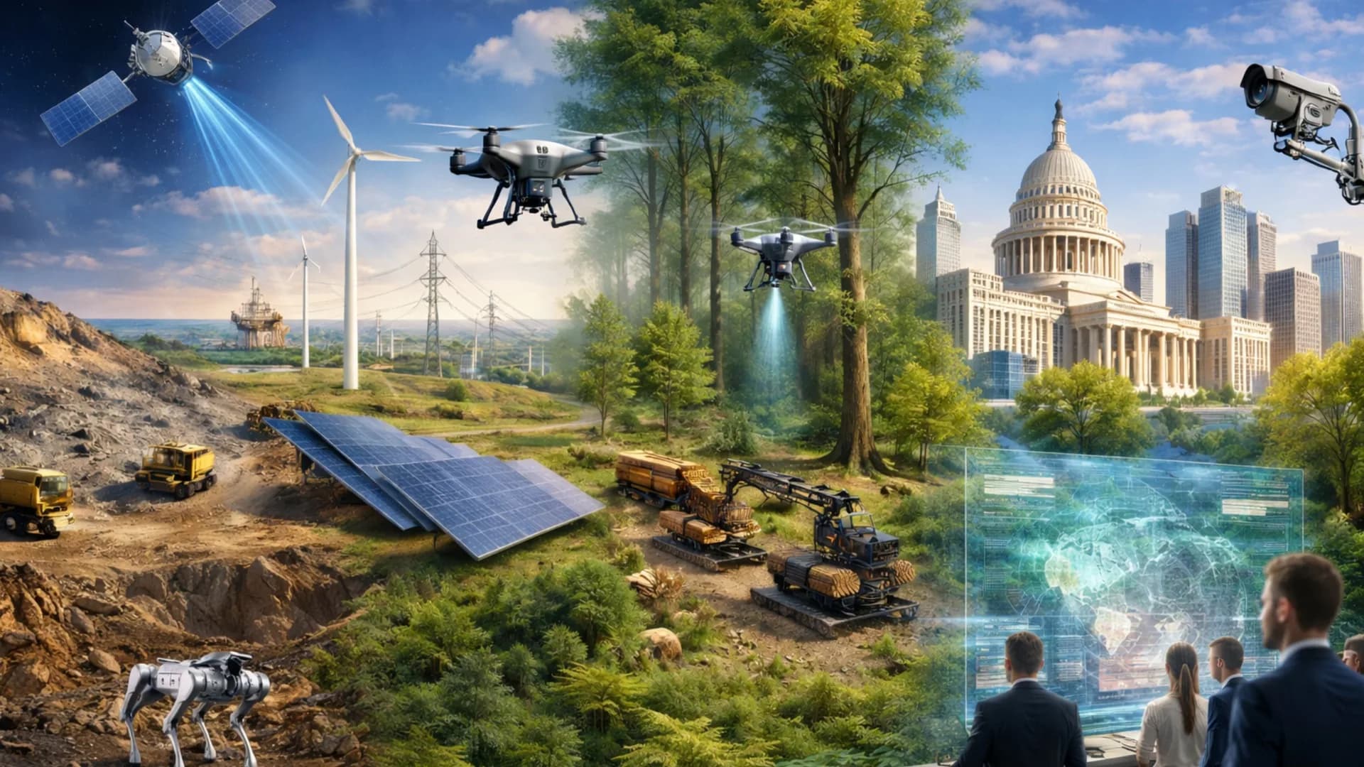
Drone services (UAV) in topography, inspection and territorial intelligence
Precision in data. Agility in execution. Confidence in every delivery.
Comprehensive solutions in UAV aerial survey and analysis
At Tecnoseg SpA we use drones (UAV) equipped with photogrammetric, LiDAR and thermal sensors to capture high-precision aerial information.
Our goal is to transform flights into reliable geospatial data: 3D models, orthomosaics, industrial inspections and environmental analyses. We integrate UAV, high-precision georeferencing and advanced digital processing to map, measure and inspect from the air with results ready for engineering and operations.
Our main UAV drone services
Aerial capture with photogrammetric or LiDAR UAV to generate orthomosaics, digital elevation models (DEM/DTM) and precise contour lines. Results compatible with CAD, GIS and BIM platforms.
Advanced RGB image processing to obtain orthophotos and 3D terrain models, ideal for construction tracking, volumetrics or project planning.
Obtaining dense point clouds to accurately model relief, vegetation and structures, even in areas with forest cover or steep slopes.
Use of thermal cameras and multispectral sensors to detect anomalies in solar panels, power lines, ducts or critical structures, without risk to personnel.
Volumetric control, progress calculation and temporal comparison between construction stages using 3D models and graphic reports.
NDVI analysis, water stress, plant vigor and productive zoning, integrating multispectral and thermal images for agronomic decisions.
Digital models for erosion monitoring, drainage, vegetation cover or terrain alterations, with direct integration into GIS systems.
Publication and visualization of results in interactive viewers, web panels or collaborative environments for technical and management teams.
UAV service operational flow
Nuestro proceso incluye:
Flight planning and initial diagnosis: We define survey objectives, required resolution and most suitable sensor type (RGB, LiDAR or thermal). We evaluate the study area, weather conditions and DGAC permits.
UAV system programming and calibration: We configure automatic flight routes with GNSS RTK control, verifying overlap, altitude and capture density parameters. Each mission is calibrated to obtain precise data.
Aerial data acquisition: We execute operations with certified pilots and real-time monitoring. Flights are recorded under AOC DGAC #1882 standard, ensuring total traceability.
Digital processing and quality control: We apply photogrammetric or LiDAR workflows, performing radiometric corrections, filtering and point alignment. Results are validated with ground control and QA/QC review.
Interpretation and results delivery: We generate orthomosaics, point clouds, digital models and technical reports. Products are delivered in formats compatible with CAD, GIS and BIM platforms.
Precision aerial technology and specialized personnel
Our integrated aerial technology and highly qualified technical team allow us to capture and process geospatial information with centimeter precision. We combine engineering, experience and advanced technology to transform aerial data into useful knowledge, applicable to Mining, Energy, Forestry and Government projects.
State-of-the-art UAV Drones
Photogrammetric, LiDAR and thermal sensors
GNSS RTK Control
Digital processing and GIS/CAD/BIM integration
Automated analysis with AI
Certified pilots and multidisciplinary team
Fly with precision, deliver with purpose
Sustainability and environmental respect
We operate with environmental responsibility, minimizing footprints and optimizing flight routes for efficient resource use.
Guaranteed safety and traceability
Each mission is executed under DGAC AOC #1882 regulations and internal safety and quality control protocols.
Constant innovation
We adopt new technologies, sensors and methodologies to maintain the highest standards in capture, processing and interpretation.
Trust and collaboration
We accompany our clients at every stage, guaranteeing useful, verifiable and strategically valuable results.
Aerial precision + intelligent technology = real results
Proven experience in LiDAR, photogrammetric and thermographic aerial surveys
Complete technological integration combining UAV, GNSS RTK, photogrammetric processing and advanced digital analysis
Centimeter accuracy and total traceability, guaranteed through field and office quality control (QA/QC)
Efficient and scalable methodology, adaptable to large-scale or highly technical projects
Multidisciplinary technical team with specialists in topography, geomatics, geophysics and data analysis
Sustainable and responsible approach, prioritizing operational safety and environmental respect
Results compatible with CAD, GIS and BIM, ready to integrate into engineering, design or monitoring workflows
¿Listo para tu próximo proyecto?
Ready to fly your project?